

INDUSTRY-LEADING DRONE SURVEYING
Delivered faster, safer and more cost-effectively than traditional methods
OUR SERVICES

TOPOGRAPHIC SURVEYING
AS-BUILT & INSPECTION

AERIAL MARKETING
ABOUT US
Specialist aerial surveying and geospatial solutions across New Zealand.
We deliver fast, accurate data capture and processing—providing reliable insights that help you move projects forward with confidence.

FAQs
-
Drone surveys offer rapid data collection over large areas with minimal ground disturbance. They provide high-resolution imagery and precise measurements, making them cost-effective and efficient for various projects.
-
With advanced sensors and RTK GPS, drone surveys can achieve accuracy within a few centimetres — suitable for detailed engineering and construction projects. Our conventional on-ground check surveys let us verify and report the accuracy achieved once the data has been processed.
-
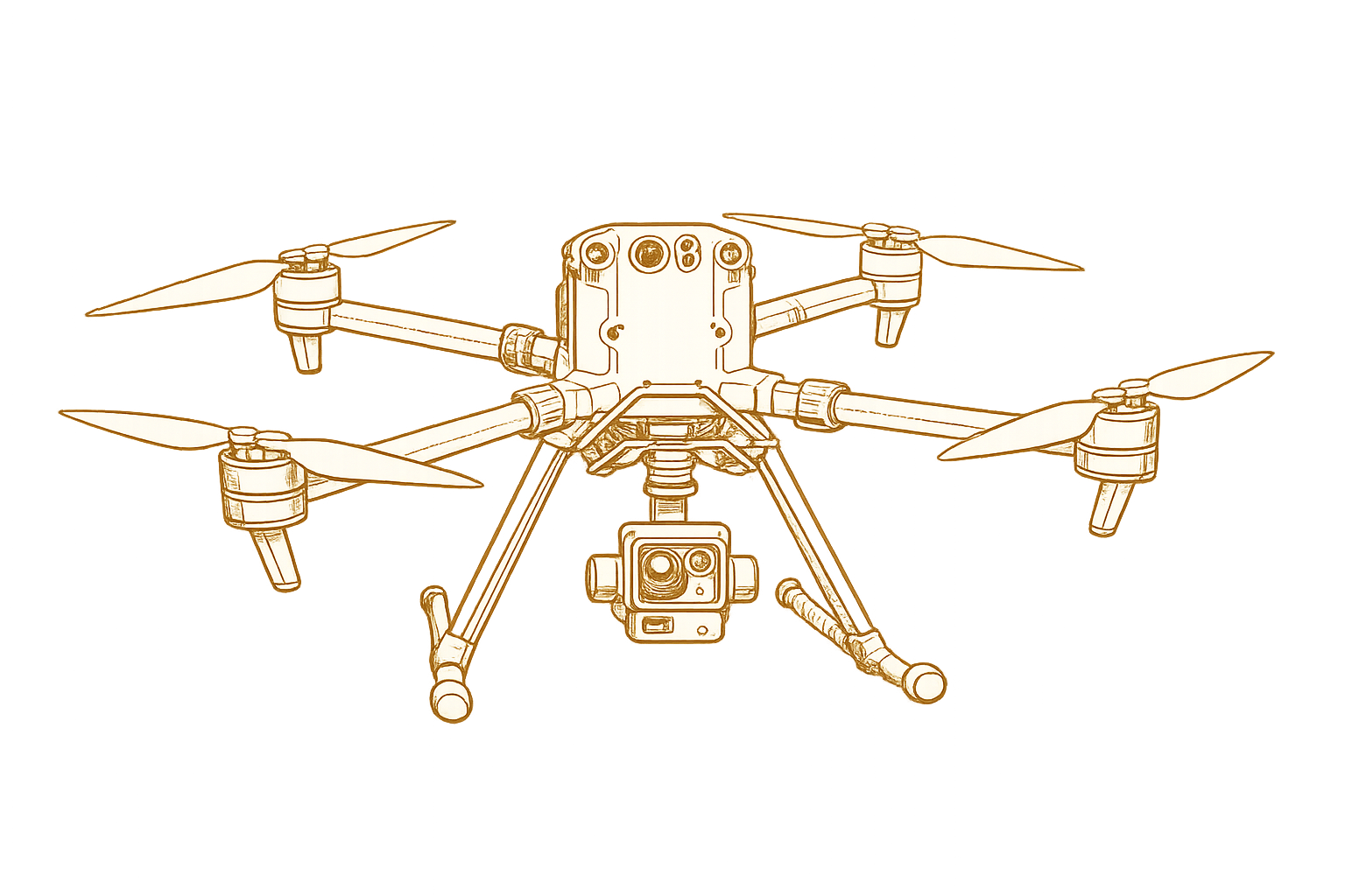
We fly DJI’s M300 RTK drone with the Zenmuse L2 LiDAR/camera payload. The manufacturer’s specifications: system accuracy of 5 cm horizontal and 4 cm vertical (at 150 m range), with a 20 MP camera (5280 × 3956 pixels).
-
We process the raw data into formats most professions can use straight away. The raw LiDAR output is a point cloud; we typically extract 3D points and 3D polylines to build a 3D TIN — the standard surface model used by civil engineers.

CONTACT US
FOR A FREE CONSULTATION AND ESTIMATE

